The automatic continuous meteorological and hydrological monitoring system must comply with current regulations, specifically Decree No. 48/2020/ND-CP dated April 15, 2020, regarding the installation and operation of automatic meteorological and hydrological monitoring stations, and Circular 29/2023/TT-BTNMT dated February 15, 2024, providing technical regulations for the operation of automatic meteorological and hydrological stations. Facilities such as ports and terminals are required to conduct monitoring and provide information and data as stipulated. The content, frequency, and location of meteorological and hydrological monitoring at ports include measuring wind direction and speed, sea level, waves, and visibility over the sea, with a frequency of four times a day or as needed.
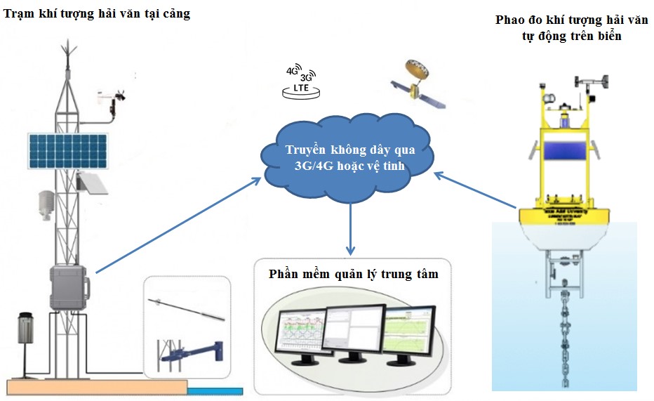
The automatic hydrological and marine monitoring system is a solution that provides data collected from sensors (water level, wind direction and speed, temperature, humidity, wave direction, flow speed, visibility, etc.) and dataloggers installed at measurement stations, transmitting data to the management center. This allows for monitoring conditions, phenomena, and climatic changes in weather, assisting in the forecasting and warning of meteorological and hydrological phenomena, as well as responding to incidents during transportation operations.
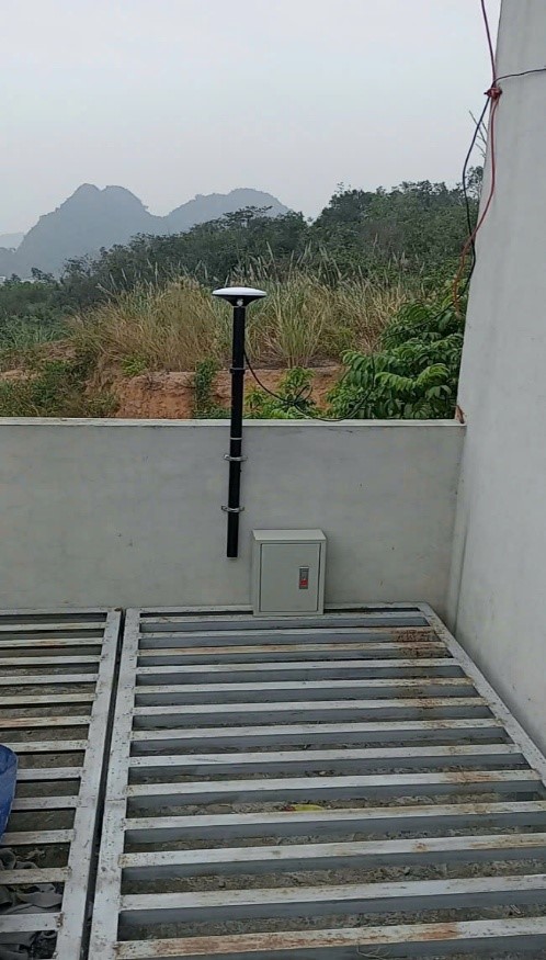
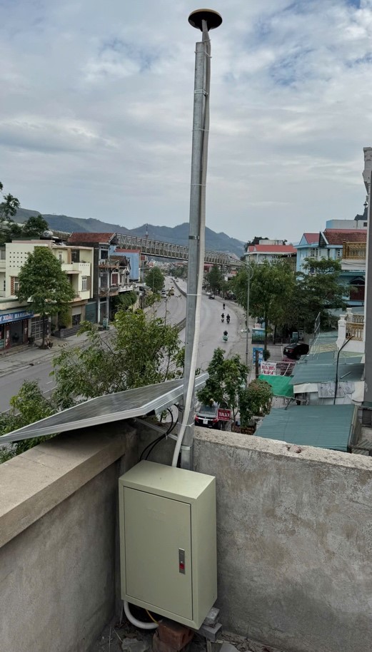
The meteorological and hydrological monitoring system includes:
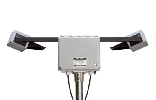
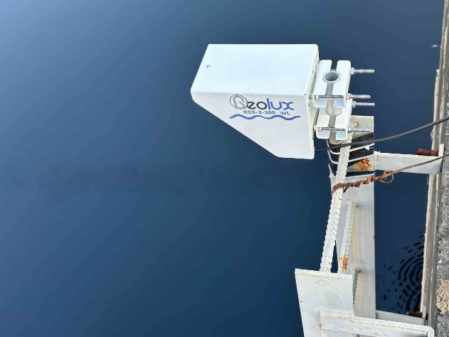
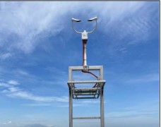
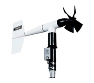
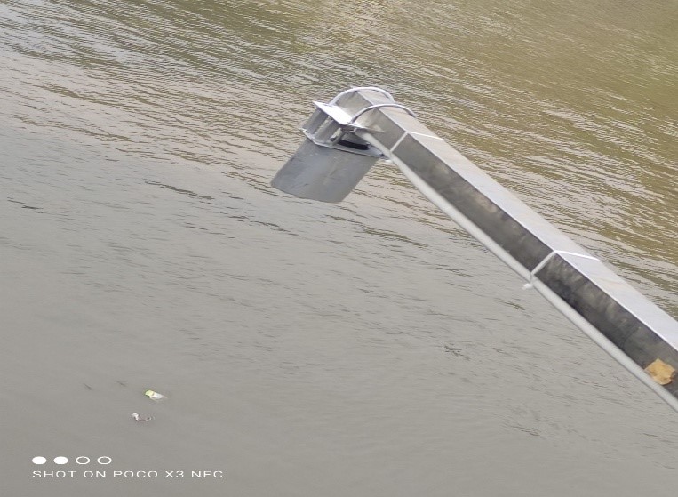
Devices for measuring parameters such as wind direction and speed, temperature, air humidity, flow speed, wave measurement, etc.
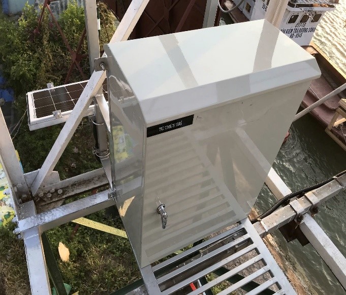
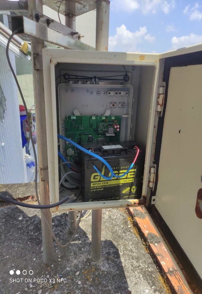
Data collection and transmission devices (dataloggers).
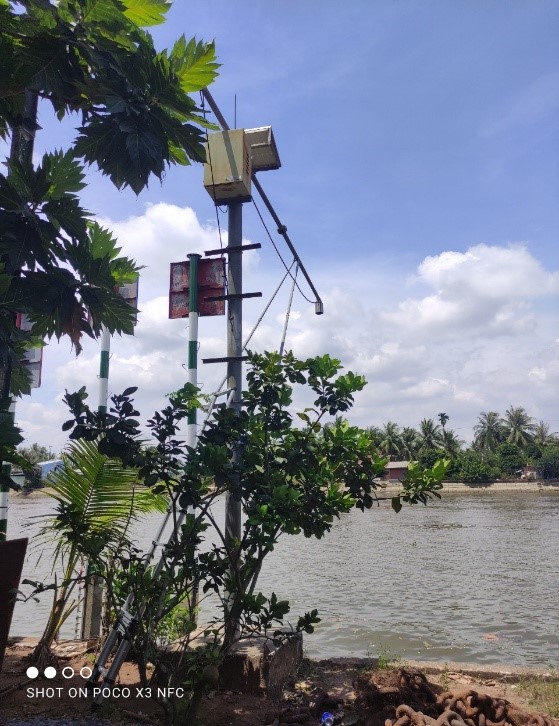
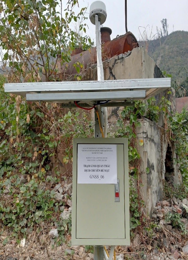
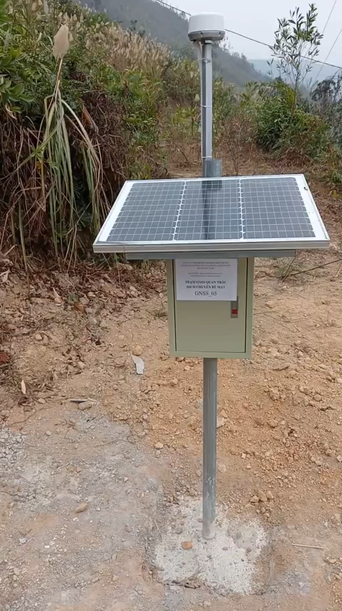
Infrastructure and supporting systems (including electrical cabinets, lightning protection devices, poles/buoys for equipment installation).
The automatic hydrological and marine monitoring system is a solution that provides data collected from sensors (water level, wind direction and speed, temperature, humidity, wave direction, flow speed, visibility, etc.) and dataloggers installed at measurement stations, transmitting data to the management center. This allows for monitoring conditions, phenomena, and climatic changes in weather, assisting in the forecasting and warning of meteorological and hydrological phenomena, as well as responding to incidents during transportation operations.
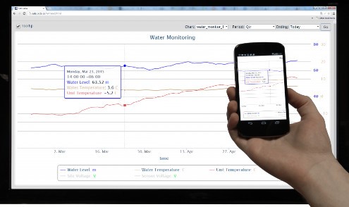
The meteorological and hydrological monitoring system consists of sensors that directly interact with the air environment to measure and analyze microclimate indicators. The system can use power from the electrical grid, solar panels, or batteries. The data is transmitted to a data collection and processing unit (datalogger), and then sent via the internet to the data processing center and data display software, which includes the following functions:
– Configuring the operational status of the station and displaying collected values for the central computer on a Google Map interface.
– Presenting data in numerical format or as graphical maps.
– Generating daily and weekly monitoring reports.
– Exporting data reports as requested.
– Issuing alerts when parameters exceed user-defined limits.
The installation and operation of the automatic meteorological and hydrological monitoring system not only meets legal requirements but also provides many practical benefits in weather management and forecasting, contributing to environmental protection and community welfare.
Project: Supply, repair, and installation of equipment for 21 hydrological stations in the Southern region – Project for the repair of 55 hydrological stations for management purposes.
Project: Consulting survey and overall assessment of areas at risk of subsidence, landslides, and rockfalls after Storm No. 3 Yagi in Group 7, Zone 5, Quang Hanh Ward, Cam Pha City, Quang Ninh.
· Start Date: November 14, 2024 – · Completion Date: December 20, 2024
· Scope of Work: Geological surveys, topographical surveys of the area, assessment of areas at risk of subsidence, landslides, and rockfalls, rental of equipment for GNSS surface displacement monitoring, monitoring of groundwater levels, etc.